Complete Survey Solutions

Expertise in Surveying

Expert surveying services for land, roads, and buildings. Delivering accuracy, efficiency, and tailored solutions to support construction, planning, and development projects. Your trusted surveying partner.

Build Your Dream

15 Years Of Undefeated Success

For 15 years, Ved Associates has been a trusted name in surveying and design. We’ve offered built surveys, site and roadways design, and boundary surveys. Our commitment to quality, innovation, and client relationships has been the cornerstone of our success, making us a leader in the industry.

250+

Successfully Project Finished.

15+

Years of experience with proud

880+

Revenue in 2022 investment

350+

Colleagues & counting more daily

WORK OVERVIEW

DRONE SURVEY OVERVIEW

Why Accuracy Matters

Accuracy is paramount in surveys and construction due to its impact on safety, compliance, costs, timelines, and client satisfaction. Precise measurements prevent hazards, legal issues, and excessive expenses. Accurate work reflects professionalism, enhances aesthetics, and builds a reliable reputation in the industry.

We Follow Best Practices

We Uphold the Highest Industry Standards, Practicing Best Methods to Ensure Quality, Accuracy, and Excellence in Every Survey.”

Build Your Dream

Quality Services

Boundery Surveys

A boundary survey is a type of land survey conducted to determine and establish the exact legal boundaries of a piece of property or land. The purpose of a boundary survey is to accurately identify and mark the physical boundaries of a property

Site & Roadways Design

Site and roadway design are two crucial aspects of civil engineering and urban planning that involve the planning, layout, and design of land, infrastructure, and transportation systems to optimize functionality, safety, efficiency, and aesthetics within a specific area.

Drone Surveys

A drone survey, also known as an aerial survey or drone mapping, involves using unmanned aerial vehicles (UAVs), commonly referred to as drones, to collect data and imagery from the air for various purposes such as mapping, surveying, analysis, and monitoring.
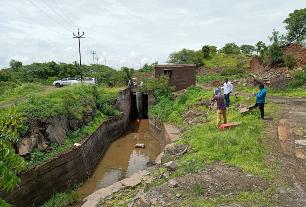
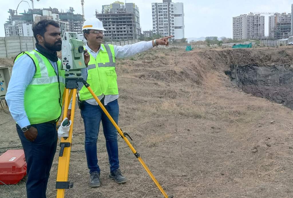
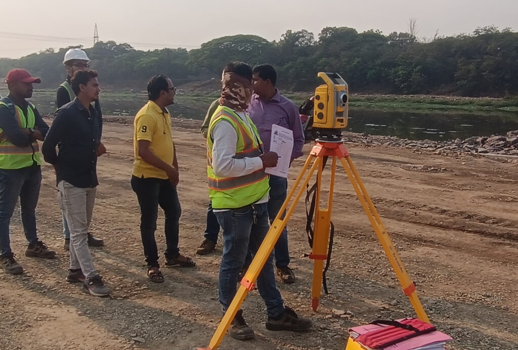
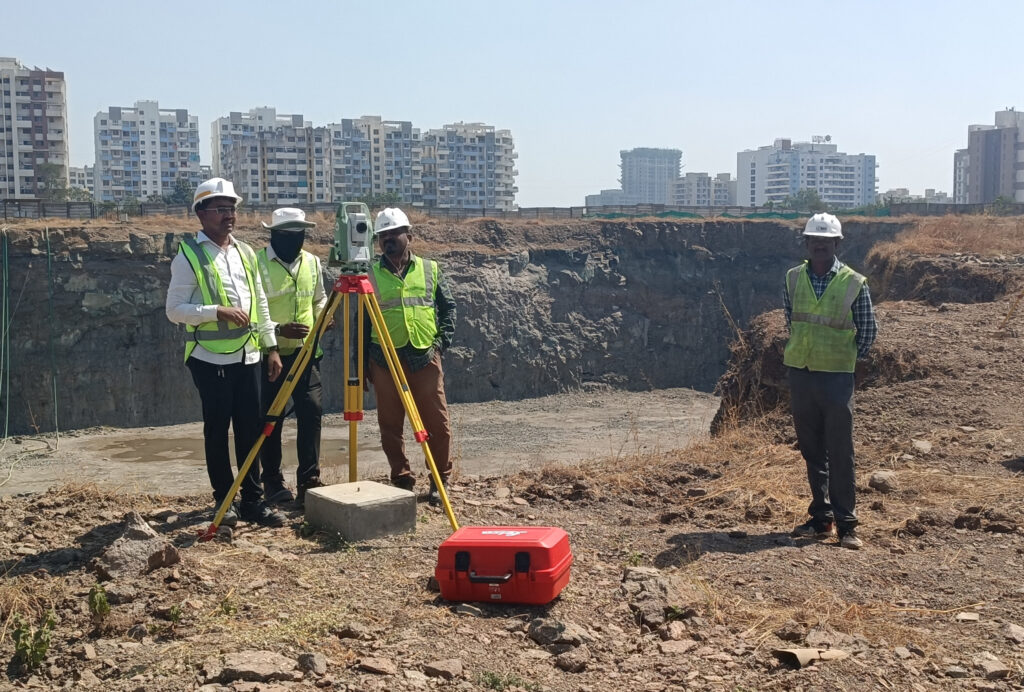
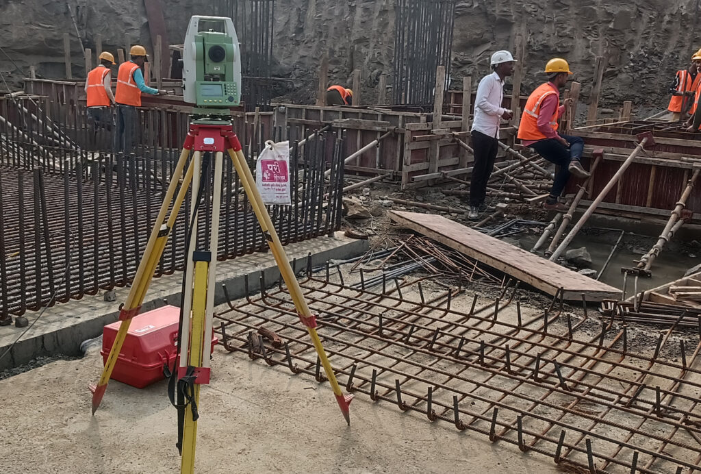
Total Station

A total station is a highly advanced surveying instrument that combines electronic theodolite (a device for measuring angles both horizontally and vertically) with an electronic distance meter (EDM) to measure distances. Total stations are widely used in the field of land surveying, civil engineering, construction, and other applications that require accurate measurements of angles, distances, and elevations.

Architecture

Architecture refers to the art and science of designing and creating buildings, structures, and spaces that are not only functional and practical but also aesthetically pleasing, culturally meaningful, and environmentally sustainable. Architects are professionals who are trained to envision, plan, and execute the design and construction of various types of buildings and environments.

Construction Layout

Construction layout, also known as site layout or staking, is the process of translating the design plans and specifications from architectural and engineering drawings into physical reality on a construction site. It involves accurately marking and positioning various elements of a building or structure on the ground according to the intended design. Construction layout is a critical phase in the construction process

Trust and Worth

Our Clients

Sustainability

Our Office Location

Where Precision Surveys Meet Professional Expertise. A Hub of Excellence for Land, Road, and Building Survey Solutions.”

PUNE

Datta Nagar, Moshi-Alandi Road, Dudulgaon

Our Projects

Latest Works

Highway

pune maharashtra

Mumbai ground

pune maharashtra

wakad Building

pune maharashtra

HPCL RCC Box

pune maharashtra

BOOK A FREE CALL

Ready to Work Together? Build a project with us!

Learn More From

Frequently Asked Questions

A land survey is the measurement and mapping of the boundaries and features of a piece of land. You might need one to establish property lines, settle boundary disputes, plan construction, or secure a mortgage.

Land surveyors use a combination of historical records, measurements, and modern surveying techniques to establish accurate property boundaries.

Yes, a land surveyor can help determine and mark the precise location of your property lines.

Various types include boundary surveys, topographic surveys, ALTA/NSPS surveys, subdivision surveys, construction as-builts, and more.

While not always required, a survey is highly recommended to ensure you know what you’re purchasing and to avoid potential boundary issues.

Translate »
Scroll to Top
Open chat
1
Scan the code
Hello Sir/Mam
How Can I Help You!